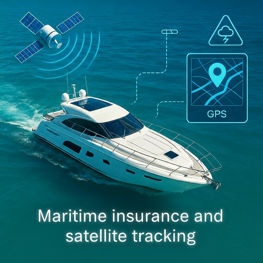
How Satellite Connectivity is Transforming Risk Management in the Yachting Sector
The marine insurance industry faces a major challenge: how to effectively protect assets that spend most of their time out of reach of traditional communication systems? The answer lies in a technology that is radically transforming risk management: satellite tracking.
Blind Spots Are Costly
Traditional marine insurance relies on tracking systems with critical limitations. These technological flaws result in significant costs, for both insurers and policyholders.
Challenges of Traditional Marine Insurance
Limited Visibility of Insured Assets
Traditional cellular systems cover only about 15% of marine areas. As soon as a yacht leaves coastal waters to sail on the high seas, it becomes invisible to its insurer. This lack of visibility creates operational blind spots that can last several hours, or even several days.
Inability to Prevent Claims in Real-Time
Without continuous visibility, insurers cannot intervene proactively. When a tropical storm forms in the Caribbean or the Mediterranean, it becomes impossible to know which yachts are in the path of the weather system, let alone quickly contact owners to recommend preventive measures.
Undetected Risk Concentration
The geographical accumulation of insured yachts in the same area represents a major risk for insurers. Without a real-time tracking system, this concentration remains invisible until a catastrophic event occurs, leading to massive and simultaneous claims.
Difficult Verification of Claim Declarations
In the absence of objective data on vessel movements and locations, the validation of claim declarations relies primarily on testimonies and documents provided by policyholders. This situation complicates the detection of fraud and slows down the processing of legitimate claims.
High Costs of Storm-Related Claims
Tropical storms and hurricanes represent the most significant risk factor for marine insurance in vulnerable regions. The inability to act preventively results in considerable claim costs that burden the entire sector.
The Satellite Solution: A Concrete Use Case
Faced with these challenges, several marine insurance companies have adopted an innovative approach by deploying satellite geolocation solutions across their portfolio of insured yachts. This technological transformation has fundamentally changed their approach to risk management.
A Comprehensive Monitoring System
Full Satellite Tracking of the Portfolio
Satellite geolocation devices enable continuous monitoring of all insured yachts, regardless of their position. Unlike cellular systems, satellite coverage extends to 100% of marine areas, completely eliminating blind spots.
24/7 Uninterrupted Visibility
Insurers now have real-time location of each yacht, wherever it is in the world. This permanent visibility radically transforms fleet management and emergency response capabilities.
Automatic Alerts During Tropical Storms
When a tropical storm or hurricane is forecast, the system immediately identifies which yachts are in the projected path. This capability allows insurers to proactively contact owners to recommend protective measures, such as moving to safe harbors or implementing reinforced protections.
Real-Time Geographical Analysis
The system provides instant visibility of the number of insured yachts present in each region at any given time. This information is crucial for portfolio management and identifying risk concentrations.
Tracking of Total Insured Value by Area
Beyond simply counting vessels, insurers can track the total insured value of their fleet by geographical region. This capability enables sophisticated exposure analysis and helps maintain balanced risk portfolios across different territories.
Concrete and Measurable Results
The implementation of satellite geolocation solutions has generated tangible results that demonstrate the value of this technology for marine risk management.
Proactive Prevention
In regions exposed to tropical storms, particularly the Caribbean, the ability to immediately contact yacht owners before the arrival of a dangerous weather system has made it possible to secure up to 85% of vessels before impact. This proactive approach has significantly reduced the volume and severity of claims related to weather events.
Significant Reduction in Claims
Data shows a 62% reduction in claim costs since the adoption of satellite geolocation systems. This decrease results from a combination of factors: proactive prevention, rapid intervention in emergencies, and theft deterrence through continuous monitoring.
Optimized Portfolio Management
Real-time visibility of the geographical distribution of risks has improved the efficiency of underwriting strategies by 78%. Insurers can now adjust their policies based on actual risk concentrations, rather than relying on estimates.
Fraud Prevention
Satellite geolocation data serves as a valuable tool for verifying claims. If a yacht owner reports damage or loss, the insurer can check location history, movement patterns, and confirm if the vessel was indeed in an area affected by the reported weather events. This transparency has led to 91% accuracy in claim validation, reducing fraud and accelerating the processing of legitimate claims.
Accelerated Claim Processing
The availability of objective and verifiable data has reduced claim processing time by 70%. Policyholders benefit from faster resolution of their cases, while insurers optimize their operational resources.
A Win-Win Business Model
The adoption of satellite geolocation in marine insurance is based on an innovative business model that creates value for all stakeholders.
For the Insurer: A Profitable Investment
Cost Reduction Exceeding Investment
The cost of satellite geolocation devices and connectivity subscriptions is largely offset by the reduction in claims. The savings realized through proactive prevention and fraud detection significantly exceed the technological investment.
Better Risk Assessment and Pricing
Access to precise and continuous data on movements and navigation habits allows for much finer risk assessment. Insurers can thus offer fairer pricing that is better adapted to the actual profile of each policyholder.
Competitive Differentiation
In an increasingly competitive marine insurance market, offering professional satellite tracking equipment is a powerful selling point. This unique value proposition attracts clients concerned about the security of their investment.
Proactive Portfolio Management
Full visibility of risk exposure allows for strategic portfolio management. Insurers can quickly identify imbalances and make informed decisions about their underwriting and reinsurance strategies.
For the Policyholder: Security Without Additional Cost
Professional Equipment Included
In some innovative models, the insurer covers the cost of the satellite geolocation device and the connectivity subscription, these fees being integrated into the annual insurance premium. The policyholder thus benefits from professional tracking equipment without additional outlay.
Enhanced Investment Security
Beyond the insurance aspect, the satellite geolocation system offers maximum protection against theft and loss. Yacht owners can track their vessel in real-time and receive alerts in case of unauthorized movement.
Personalized Preventive Alerts
Policyholders receive notifications before dangerous weather events, allowing them to take preventive measures to protect their yacht. This proactive communication strengthens the relationship of trust between the insurer and the policyholder.
Peace of Mind
Continuous monitoring and rapid assistance capabilities in emergencies offer invaluable peace of mind to yacht owners, whether they are sailing in the Mediterranean, the Caribbean, or crossing the Atlantic.
The Future of Marine Insurance
Satellite geolocation represents much more than a simple technological improvement: it constitutes a fundamental transformation of the marine insurance model. By moving from a reactive approach to a proactive risk management strategy, insurers can not only reduce their costs but also offer superior quality service to their customers.
This evolution is part of a broader trend of digitalization and the use of IoT (Internet of Things) in the insurance sector. The data collected via satellite geolocation systems opens the way for even more sophisticated predictive analyses, making it possible to anticipate risks even before they materialize.
For maritime industry players seeking to transform their fleet management from a cost center into a driver of long-term efficiency, safety, and resilience, satellite connectivity is no longer an option, but an essential strategic foundation.
About Konectis
Konectis offers complete satellite tracking solutions for the maritime sector, combining advanced tracking devices, global connectivity, and an intelligent management platform. To learn more about our solutions for marine insurance, visit www.konectis.com.