Installing a Tracker
When you plan to go on a long-distance cruise, it is very common to equip yourself with a communication system to stay in touch with land. And your loved ones also often want to be able to locate you in real time during your journey. This, among other things, is what the geolocation beacon allows.
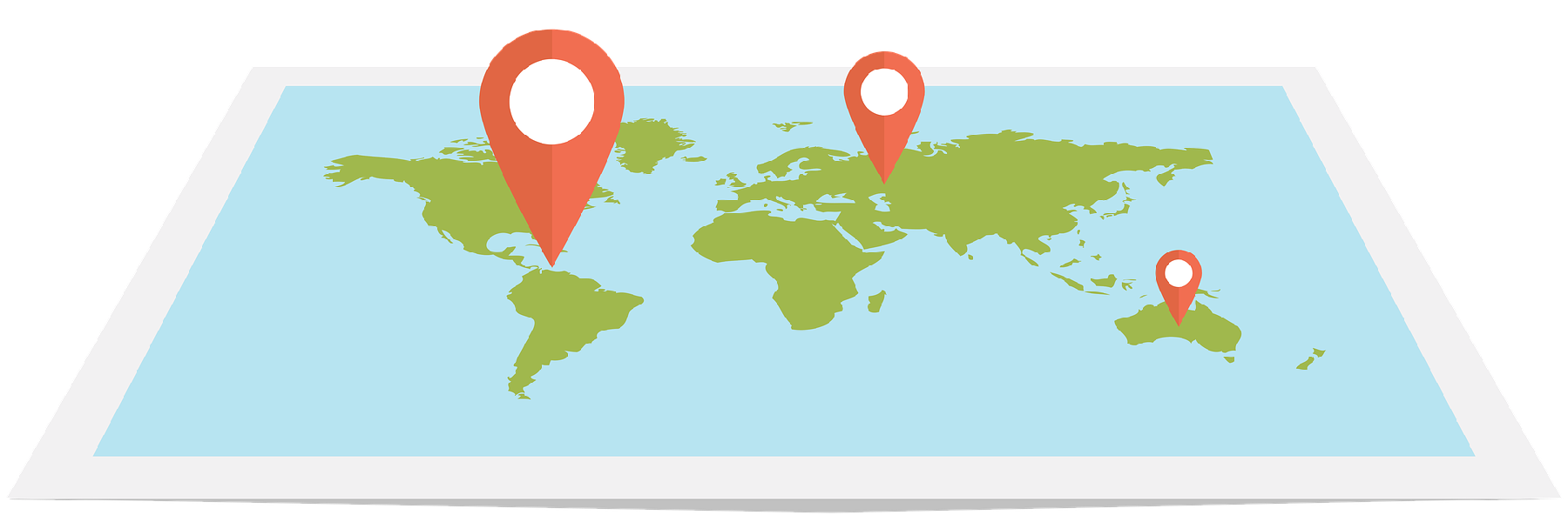
Determining the position
Unlike a person, an object or a vehicle, a boat's playground is more extensive, so it is necessary to be well-equipped. Tracking units work via the terrestrial telecommunication network (GSM) and/or via a satellite network (Globalstar, Iridium or Inmarsat). In all cases, the GPS satellite localization system is used to determine the position.
Uses of the tracker
Installing a tracker also allows you to benefit from various uses such as monitoring your boat, receiving an SMS in case of damage on board (water ingress, fire, etc.) if the tracker is interfaced with a detector, or sending messages to your loved ones or emergency services.
Hybrid trackers
Today, there are "hybrid" tracker, such as the ALIVE beacon provided by Advanced Tracking, which rely on the Iridium satellite network and the GSM/4G/5G network depending on your position. They therefore have no range limit and have a built-in distress button.
The subscription
If you opt for a tracker, be aware that a monthly subscription, which can be flexible with Advanced Tracking, must be added to the purchase price of the beacon.
More information on geolocation beacons: https://www.advanced-tracking.com/collections/balises-de-geolocalisation

