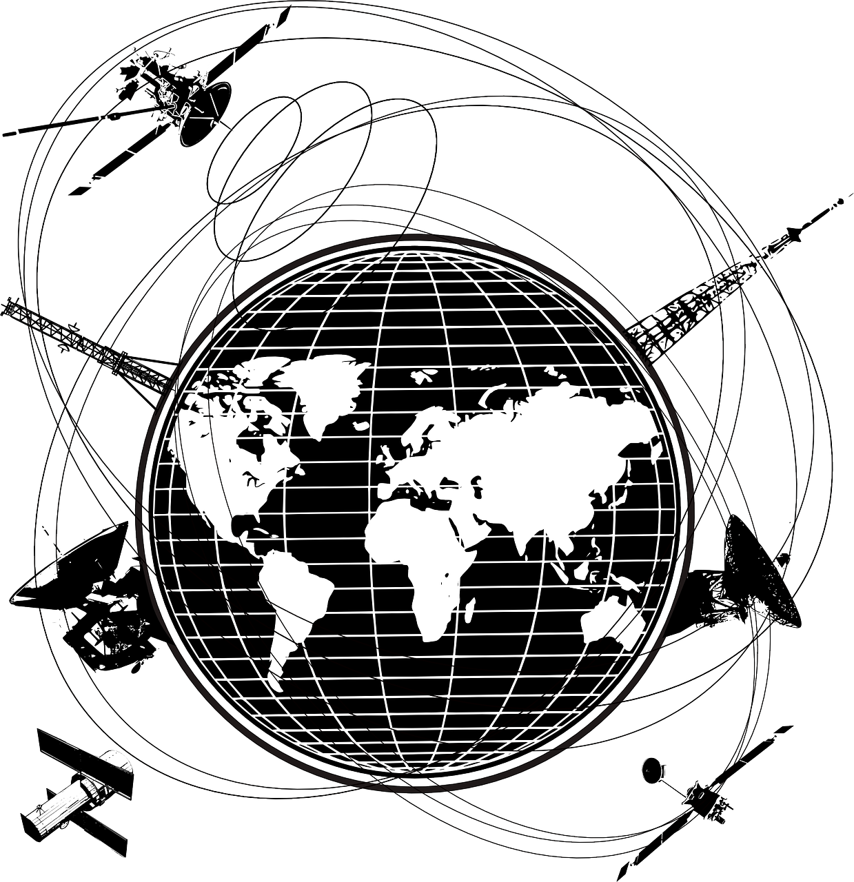
Satellite communication networks
When you search for communication systems for your future navigations, the names Iridium, Inmarsat or Globalstar come up... But who are they?
We would like to give you an insight into the differences between them. Indeed, as a provider of on-board communication system solutions, the Advanced Tracking team works closely with all three satellite communication networks.
INMARSAT
Let's start with InmarsatInmarsat is the historic network, since it was the first to provide access to individual telephone connections by satellite thanks to a few satellites in geostationary orbit. They are therefore located at an altitude of almost 36,000 km above the earth and move synchronously with the planet, remaining constantly above the same point on the surface. The coverage of these satellites is therefore not total, but it is very reliable and it is open to a wide range of terminals that allow voice and data transfer at high speed depending on the equipment. One of the solutions widely used with the Inmarsat network is the Inmarsat Fleet One. This equipment provides affordable and accessible satellite connectivity. It offers numerous functionalities such as telephone, SMS, GPS position, emergency activation, email, photo transfer, connection to social networks, weather reception (Grib files) and tracking on an optional geolocation interface. This solution gives you peace of mind when sailing.
More information on Inmarsat Fleet One: Click here
IRIDIUM
Unlike Inmarsat, the satellite network's coverage Iridium is total, including at the poles.
As the coverage is global, the Iridium network is mainly used for voice data transmission, particularly for emergency systems. This is why Iridium is associated with Units geolocation systems such as the ALIVE beacon, which is always connected to the 66 satellites in low orbit (780 km altitude) that make up the new Iridium NEXT constellation. These satellites relay communication to the ground station operating the network, which also provides a high-speed Internet connection. This technology opens up all possibilities for communication, geolocation on land and at sea, and at variable rates depending on use.
Whether for voice communication, downloading small weather files via a satellite phone or other simple fixed medium, or for heavier data with a need for high-speed Internet, the Iridium network is adaptable to your use and your terminals. It offers flexibility and above all reliability.
One of Iridium's flagship solutions for navigators around the world isIridium GO. This latest technology allows you to communicate via your smartphone or tablet in voice or data mode anywhere on the planet.
More information on Iridium GO: Click here
GLOBALSTAR
Finally, Globalstar is based on a constellation of 48 satellites in low orbit (at an altitude of 1,414 km) to provide complete coverage, except for the polar latitudes. Unlike the Iridium network, which uses inter-satellite traffic, each satellite in the Globalstar system interchanges directly with the terrestrial telecommunications networks, which means that each earth station must be within range of each satellite, i.e. some 40 gateway stations spread around the globe.
Like the Inmarsat and Iridium networks, voice and data services are offered. The Globalstar network is mainly used for our geolocation beacon solutions such as the tracking unit Smartone C or Smartone Solar, particularly for a professional audience to geolocate containers, trailers, boats or vehicles. A system designed for intelligent management of fixed or mobile assets.
More information on tracking unit Smartone C : Click here
More information on the SmartOne Solar beacon : Click here
These three satellite communication networks are therefore essential to ensure communications on board ships sailing off the coast, beyond the reach of terrestrial antennas. The two main networks, Inmarsat and Iridium, each offer specific features such as full or partial coverage, which must be taken into account depending on your sailing area in particular.
For more information, please contact the Advanced Tracking team
Photo credit: Author OpenClipartVectors